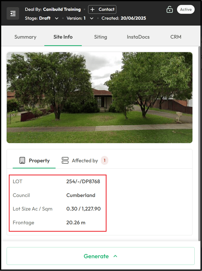
Every address in Canibuild will have a list of basic site information available for the property. This also includes any overlays that may affect the site
- Click Site Info on the left panel.

The most basic information displayed for all sites includes the council lot size and frontage. If an image appears at the top of the panel, it indicates that Google Street View is available for the property.
-
Click Affected By to access the list of overlays affecting the site.

- Select an Overlay.
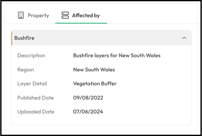
Depending on your location, there can be a variety of overlays that affect your site.
Some of the most common include:
- Bushfire
- Flooding
- Coastal zone
- Vegetation Protection
- Heritage
- Acid Sulphate Soil
- Land Inundation
- Biodiversity - Koala Habitat
- Airport Environment
- Landslide
- Transportation Corridor
- Neighbourhood Character
- Design And Development
- Earthquake Hazard
- Road Noise Contour
- Seismic Hazard
- Tsunami
- Winter Outlook Temperature
- Air Freezing Index
- Weathering
- Snow Load (lbs/sqft)
- Mineral And Resource Zone
- Dam Inundation
- Click the Hide Menu icon to minimise the left panel.
