
This article will explain the different aerial imagery options available to suit your needs.
Depending on organisational needs there are three different options for the Aerial Imagery that can be used in canibuild.
The 3 levels are:
- Low Resolution Imagery.
- High Resolution Imagery.
- Premium Imagery.
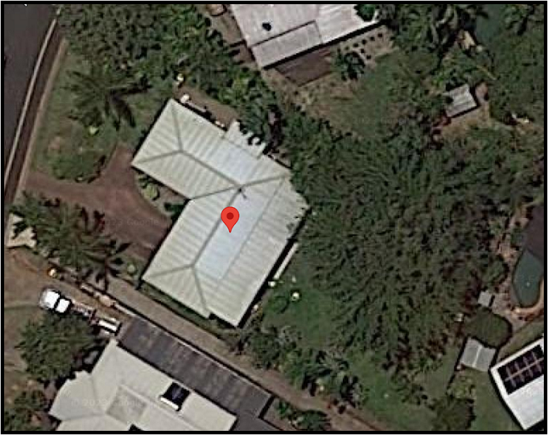
Low Resolution Imagery (Google maps)
- Basic mapping.
- Generally updated once per year.
- Lower quality. Most details are still visible.
High Resolution Imagery
- High quality imagery.
- Generally updated every few months.
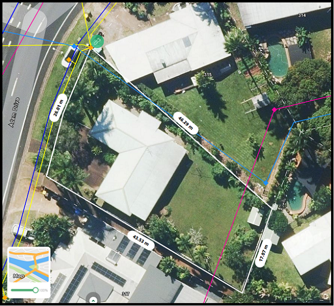
Premium Resolution Imagery
- Best quality imagery.
- Updated most frequently, generally every few months.
- Can swap to any past imagery of the site.
